


Intermediate World and United States Wall Maps Set
Price range: $19.99 through $39.99
Advance geographic learning with the SwiftMaps Intermediate World and United States Maps Set. Featuring detailed easy-to-read cartography and durable laminated construction ideal for classrooms, homeschooling, and growing students.
- Features intermediate-level cartography with clearly labeled countries, states, capitals, major cities, and geographic regions for expanded learning.
- Includes both World and United States maps to support comprehensive geography education and skill development.
- Large-format layouts provide enhanced readability for classrooms, homeschooling environments, libraries, and study spaces.
- Durable laminated finish helps protect the maps from everyday wear while maintaining vibrant color clarity.
- Dry-erase compatible surfaces allow for interactive lessons, quizzes, travel tracking, and hands-on classroom activities.
- Encourages geographic awareness, map-reading confidence, and critical thinking through visually engaging educational design.
- Ideal for growing students, educators, parents, and homeschool families seeking more advanced geography learning tools.
- Combines educational functionality with colorful decorative appeal to create an engaging and inspiring learning environment.
Description
Intermediate World and United States Wall Maps Sets for Grades 5-12
Intermediate-Level Geographic Detail
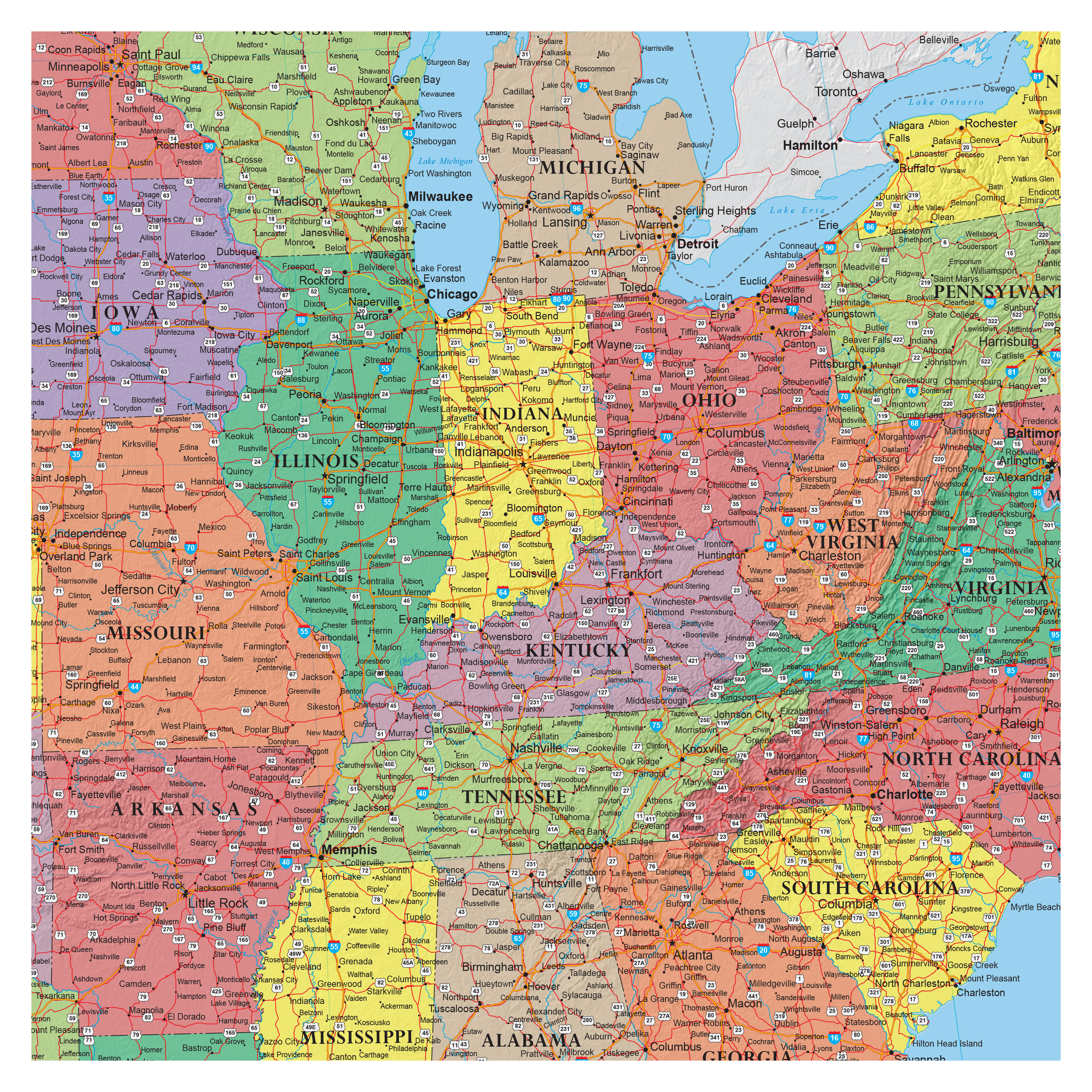
The SwiftMaps Intermediate World and United States Maps Set is designed for students ready to expand their geographic knowledge. Clearly labeled countries, states, capitals, major cities, and geographic regions provide an advanced educational experience while remaining easy to read and visually engaging. Ideal for classrooms, homeschooling, libraries, and study areas, these maps help students strengthen location recognition, improve spatial understanding, and build confidence in geography skills through consistent daily interaction.
Large-Format Readability & Interactive Learning Features
The large-format design allows students to easily view detailed information, making lessons more engaging for group instruction or independent study. Each map features a durable laminated finish that protects against wear while supporting dry-erase compatibility for interactive activities and classroom exercises. This hands-on functionality encourages active participation and helps reinforce learning retention through visual and interactive teaching methods.
Educational Functionality with Vibrant Classroom Appeal
The Intermediate World and United States Wall Maps Set adds colorful educational décor while inspiring curiosity and global awareness. The visually balanced design encourages exploration, discussion, and deeper engagement. Perfect for teachers, homeschool families, and growing students. This map set combines educational value, durability, and attractive presentation to support long-term learning success.
Additional information
| Dimensions | N/A |
|---|---|
| Size | 18" x 24", 24" x 36", 30" x 48" |
Related products
-


United States Classic Elite Wall Map Poster
Price range: $16.95 through $39.95 Select options This product has multiple variants. The options may be chosen on the product page -

Illustrated Kids World Map
Price range: $14.99 through $24.99 Select options This product has multiple variants. The options may be chosen on the product page -


Illustrated Kids World and United States Map Set
Price range: $19.99 through $39.99 Select options This product has multiple variants. The options may be chosen on the product page -

Beginners World and United States Maps Set
Price range: $19.99 through $39.99 Select options This product has multiple variants. The options may be chosen on the product page